Contents Chapter 1. Know your house
How cold and how dry your town gets
For Grand Junction, Delta and Montrose, the normal January low runs from about 15 to 18°F at nearby stations, and NOAA's normals show a dry climate with long heating seasons.
- Use this when
- You're planning for freeze, heat or cooling and want local numbers, not a guess.
- Done when
- You know your nearest station's numbers and who to ask about frost depth.
- Who
- You
Written for this manual, last checked against sources November 4, 2026. Who wrote it
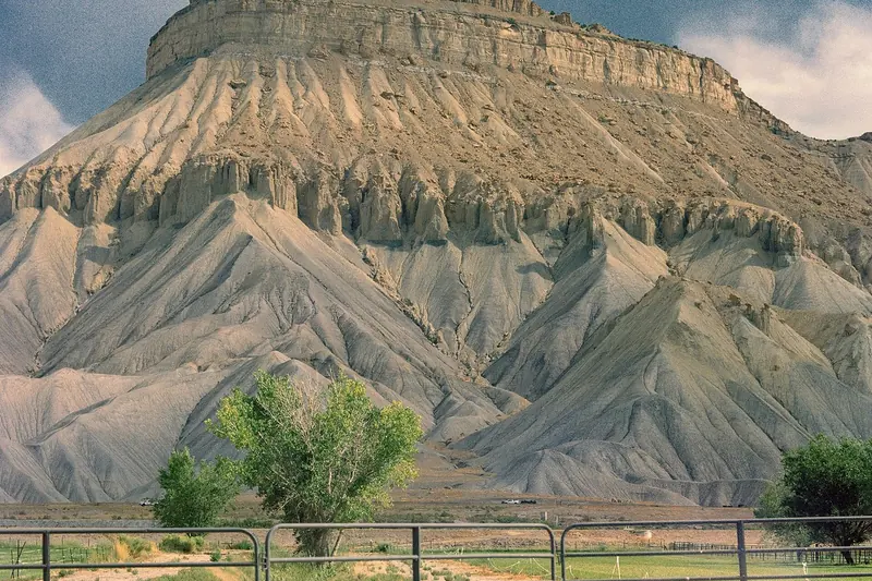
1-3.1 What does NOAA say about each station?
Fig. 1-3 Five NOAA stations, 1991-2020 normals
Normal January low, °F
Heating degree days a year
NOAA NCEI 1991-2020 normals. Stations, not towns.
These are NOAA's 1991-2020 normals, with the January low from the monthly set. Checked November 2026. Each row is a weather station, not a town. Your house may be warmer or colder than the nearest one.
| Station | Elev. ft | Jan low °F | Mean °F | Precip in | Snow in | Heating deg. days | Cooling deg. days |
|---|---|---|---|---|---|---|---|
| Grand Junction Walker Field | 4,858 | 17.3 | 53.2 | 9.06 | 17.7 | 5,497 | 1,233 |
| Delta 3E | 5,027 | 14.6 | 51.3 | not listed | not listed | 5,802 | 833 |
| Montrose #2 | 5,789 | 17.5 | 51.5 | 9.33 | 21.5 | 5,681 | 793 |
| Paonia 1SW | 5,581 | 15.7 | 50.6 | 14.33 | 41.4 | 5,912 | 683 |
| Cedaredge 3E | 6,838 | 19.0 | 48.8 | 12.46 | 39.7 | 6,428 | 557 |
Cedaredge 3E sits about 3 miles east of town and may be higher than the town itself. Delta 3E has no precipitation or snow normal in this dataset, so don't borrow one from a neighbor. Delta's January low is colder than Cedaredge's higher station. That's what the data shows, and this manual has no sourced explanation for it.
For a longer view, Walker Field's record from 1900 to 2016 averages a 15.9°F January minimum and 8.67 inches of precipitation a year.
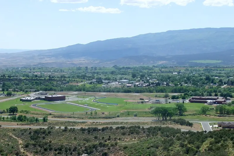
1-3.2 Reading the columns
January low is an average of nightly lows across the month and across 30 years. An average means some nights go well below it. Plan for colder than the figure shows.
Heating degree days add up how far each day's mean falls below a set base temperature over a year. A bigger number means more heat burned. Cedaredge 3E's 6,428 against Walker Field's 5,497 means more heating demand, though the bill also depends on the house and the fuel, §8-4.
Cooling degree days do the same for hot days. Walker Field's 1,233 is more than twice Cedaredge 3E's 557. The Energy Department says evaporative coolers work well where air is hot and humidity low, and swamp coolers are covered in §9-1. Humidity numbers for these towns aren't in the sources behind this manual.
Precipitation is rain and melted snow together. Every station with a figure gets under 15 inches, which is part of why irrigation, ditches and hauled water matter here.
Using this page
- Nearest station at similar elevationFIND IT
- January lowPLAN COLDER THAN THIS
- First freeze dateBE READY WELL BEFORE
- Frost depth for your addressASK COUNTY BUILDING OFFICE
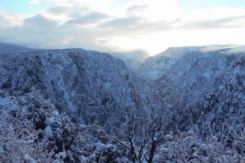
1-3.3 When does the first freeze come?
The Colorado Climate Center's 2024 summary says Palisade averages its first fall freeze on October 26, the latest in the state. Other Grand Junction stations come in late October. One year in ten, the Grand Valley freezes by mid-October, and Palisade's earliest since 1991 was October 4, 2016.
Those are the warm, low end of the Slope. Higher ground usually freezes first, so don't wait for the Palisade date if you live up on a mesa. Do the check in §7-1 well before the average. Treat any date as a guess, not a promise.
1-3.4 What's a snow load, and what's yours?
Ground snow load is the design figure, in pounds per square foot, that a county uses for what roofs must carry. It's a building number, not a forecast. Mesa County publishes its figures, and they're non-reducible.
| Place or elevation | Load |
|---|---|
| Grand Junction and surrounding, DeBeque, Little Park, Gateway | 30 |
| Mesa, Molina, Plateau City, Collbran | 40 |
| Vega | 70 |
| Powderhorn | 90 |
| Mesa Lakes | 100 |
| 4,000-5,500 ft | 30 |
| 5,501-6,500 ft | 40 |
| 6,501-7,500 ft | 50 |
| 7,501-8,500 ft | 70 |
| 8,501-9,500 ft | 90 |
| 9,501-11,000 ft | 100 |
The Glade Park Store and a 2-mile radius are 30, and for the rest of Glade Park, the county says to contact the department. These figures matter when you add a shed, a patio cover or a roof-mounted unit, §10-1. They apply in Mesa County only. We couldn't open the Delta County or Montrose County building pages when this was last checked, so ask those offices directly.
1-3.5 How deep is the frost line here?
This manual can't give you a number. No frost depth could be confirmed for Mesa, Delta or Montrose counties in November 2026. Mesa's codes page lists none, and the foundation standard it links to couldn't be found. Its subdivision foundation list, dated July 29, 2022, calls itself a working document and says requirements vary by subdivision.
Before you bury a water line or set a footing, ask your county's building office for the frost depth at your address. Don't take it from a neighbor or a web page, this one included. §10-1 has the offices.
Also asked
Why is my thermometer colder than the Grand Junction number?
The table shows averages from one station at one spot. Your house may sit at a different elevation, in a different draw or on a different slope. Use the table for the general picture and your own thermometer for the night.
Which station should I use if I live in Olathe or Hotchkiss?
Use the nearest one with a similar elevation, and treat it as a rough guide. Neither town has a row here because this manual only prints the five stations it checked. For a wider window, read two neighboring rows and plan for the colder.
Does the snow column tell me how much my roof holds?
No. It's the average total snowfall over a year, not the weight on a roof at one time. Snow load is the separate design figure in the Mesa County table, and in Delta and Montrose counties you'll need to ask the building office.
Can I use these numbers to size a furnace or heat pump?
Not on their own. Winter design temperatures for these counties couldn't be confirmed, and sizing depends on your house. A contractor should run a load calculation for the whole home, §8-4.
Where this comes from
- NOAA NCEI annual normals, 1991-2020: mean, precipitation, snow, degree days, elevation.
- NOAA NCEI monthly normals, 1991-2020: January lows.
- Western Regional Climate Center, Walker Field record: 1900-2016 averages.
- Colorado Climate Center, first fall freezes, 2024: freeze dates.
- Mesa County, adopted codes and regulations: snow loads; no frost depth listed.
- Mesa County subdivision foundation list, July 29, 2022: working document, varies by subdivision.
- U.S. Department of Energy, Energy Saver guide, 2022: evaporative coolers and dry air.
Sources checked November 4, 2026.